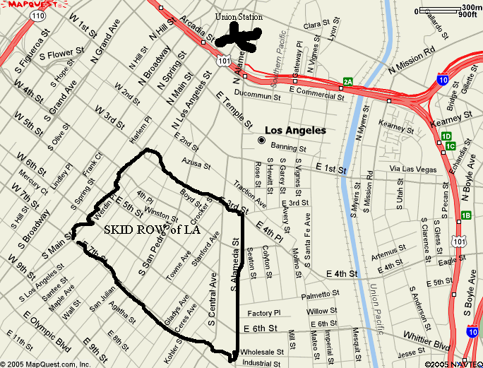
Alemeda borders the area on the east. While Main street borders the area on the northwest.
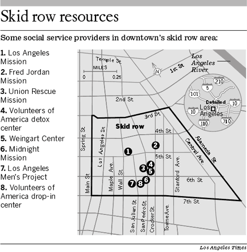
The map provided by the LA Times isnt oriented on north south axis. It is angled.
This map is from google and it shows the Los Angeles skid row with a better perspective on north and south. The X near the top is Union Station which is at Almeda and Los Angeles Street.